On the Slopes: Tracking Made Simple
From our experience teaching at ski schools, we know one of the constant challenges: knowing where your instructors are. Are they still on the beginner slope? Did they move to the intermediate run? Is anyone going to make it back in time?
Ski schools
You cannot just install tracking software on people's smartphones. That crosses a line. But with a Meshtastic tracker, the solution is simple. Hand out a small device to each instructor in the morning. The school coordinator opens the app and sees where everyone is on the mountain. At the end of the day, the instructors drop their devices on the charger in the office. Done.
Nobody gets tracked after work. Nobody needs to install anything on their phone. The tracker stays at the ski school, and so does the data.
Ski patrol
Patrol teams face a similar challenge. When an incident happens, the patrol leader needs to know who is closest. With each patroller carrying a tracker, the leader opens the map and sees the whole team at a glance. No guessing, no radio calls to ask "where are you right now?"
Coverage where you need it
Meshtastic does not guarantee coverage everywhere out of the box. But ski schools and patrol teams know their mountain. They know which valleys have weak spots and which ridges block signals. Placing a few static Meshtastic nodes at the right locations fills those gaps and ensures coverage across the whole area.
Ski school and patrol can even share the same network of nodes to strengthen coverage for everyone. Each group uses its own channel, so their messages stay separate. The infrastructure helps both, without anyone seeing what they should not.
The same pattern everywhere
Once you see how this works on a ski mountain, the use cases keep multiplying. Paragliding schools, backcountry groups, hiking guides. The pattern is always the same: people spread across terrain where phones do not work, and a coordinator who needs the full picture.
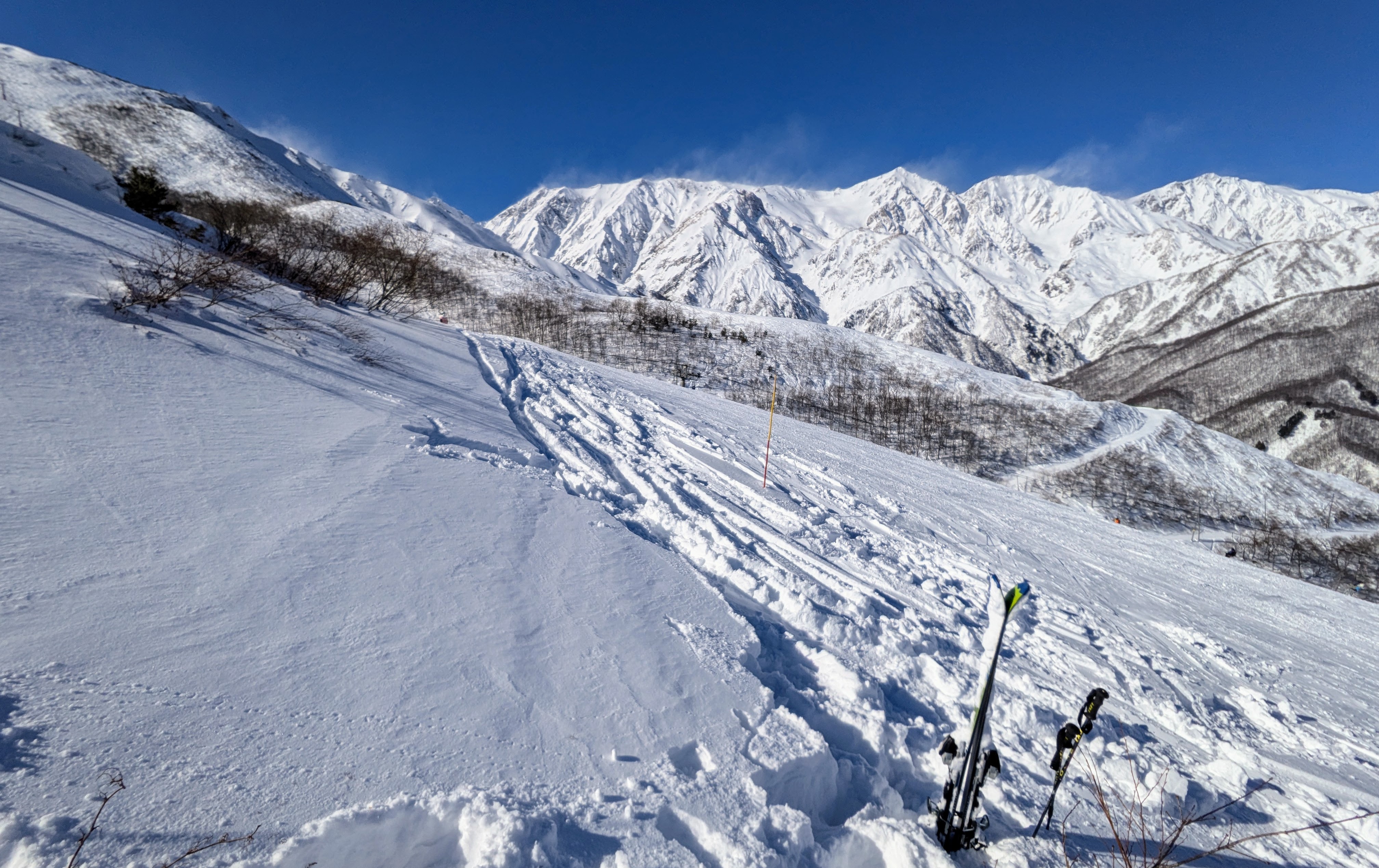
We tested it ourselves
We took Meshtastic devices along on a family ski day. At the end of the day, we looked at the GPS tracks on the app. Every run was there. You could see where everyone had been, when they stopped, and where paths split and rejoined. That is when it clicked how useful this would be for any team operating on a mountain.
The daily routine is simple. Charge the devices, hand them out, collect them at the end of the day. No accounts to manage, no monthly fees.
If you run an outdoor school, a patrol team, or any group that operates off-grid, get in touch. We would be happy to share what we have learned.