Scout Troops and Meshtastic: Tracking a Full-Day Mountain Hike in Real Time
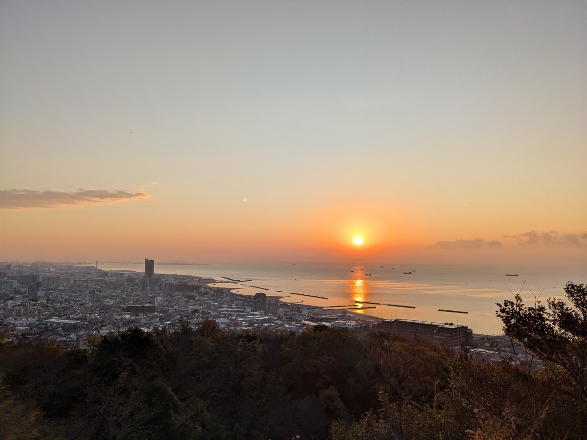
Every year, the Kobe Boy Scouts hike from Akashi along the entire length of the Rokko Mountains to Takarazuka. They start before sunrise and finish after sunset, sometimes just in time for one of the last trains home. The kids organize the route themselves. Adult leaders join along the way but do not lead from the front.
Each group carries a tracker
When the groups set off, each one receives an emergency envelope containing contacts, instructions, and a Meshtastic card tracker. The tracker slips into a jacket pocket and weighs almost nothing.
Adult group leaders carry their own trackers paired to their smartphones. As they move along the ridge, their phones act as internet gateways, forwarding GPS positions from nearby devices to the cloud. Together the devices form a mesh. Even in stretches without mobile coverage, the mesh passes data between nodes until it finds a path out. Each group also carries a radio for voice communication; the Meshtastic trackers add a separate layer on top.
A live map that everyone can see
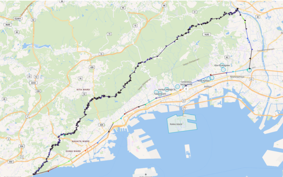
Positions flow into Karida Cloud and appear on a real-time map that parents can follow from home. For families waiting while their children hike through the mountains after dark, seeing the group moving on the map is a significant relief.
The map also helps the support team coordinate food and drink stops along the route. When a group is running behind, supporters at the next stop can wait a little longer. When a group is moving fast, they can be met earlier. The logistics become responsive rather than guesswork.
After the hike, every group's GPS track is recorded and can be reviewed online. For the scouts, the full line from Akashi to Takarazuka is a concrete record of what they did.
If something goes wrong
If a group stops moving unexpectedly or contact is lost, the last known GPS position is visible on the map. In a mountain environment at night, that is the difference between a search starting in the right area and one starting with nothing.
Meshtastic is a coordination tool, not a rescue system. Always maintain voice radio as the primary emergency channel and ensure all leaders know the local emergency numbers before the event starts.
The tracker fits in a pocket, runs for days on a charge, and needs no action from the children carrying it. It simply moves with them, and the adults who need to know where they are can see that it is moving.